Space Mission Planning and Remote Sensing
- Overview
- Course Content
- Requirements & Materials
Who Should Attend
This course is designed for individuals who are new to space-related roles or the military. Is is also valuable for those working as analysts or in space operations roles.
What You Will Learn
- Space‑domain awareness – understanding international uses of space, orbital regimes (low Earth orbit (LEO), medium Earth Orbit (MEO), geostationary orbit (GEO), and highly elliptical orbit (HEO)), and the operational implications of a crowded space environment.
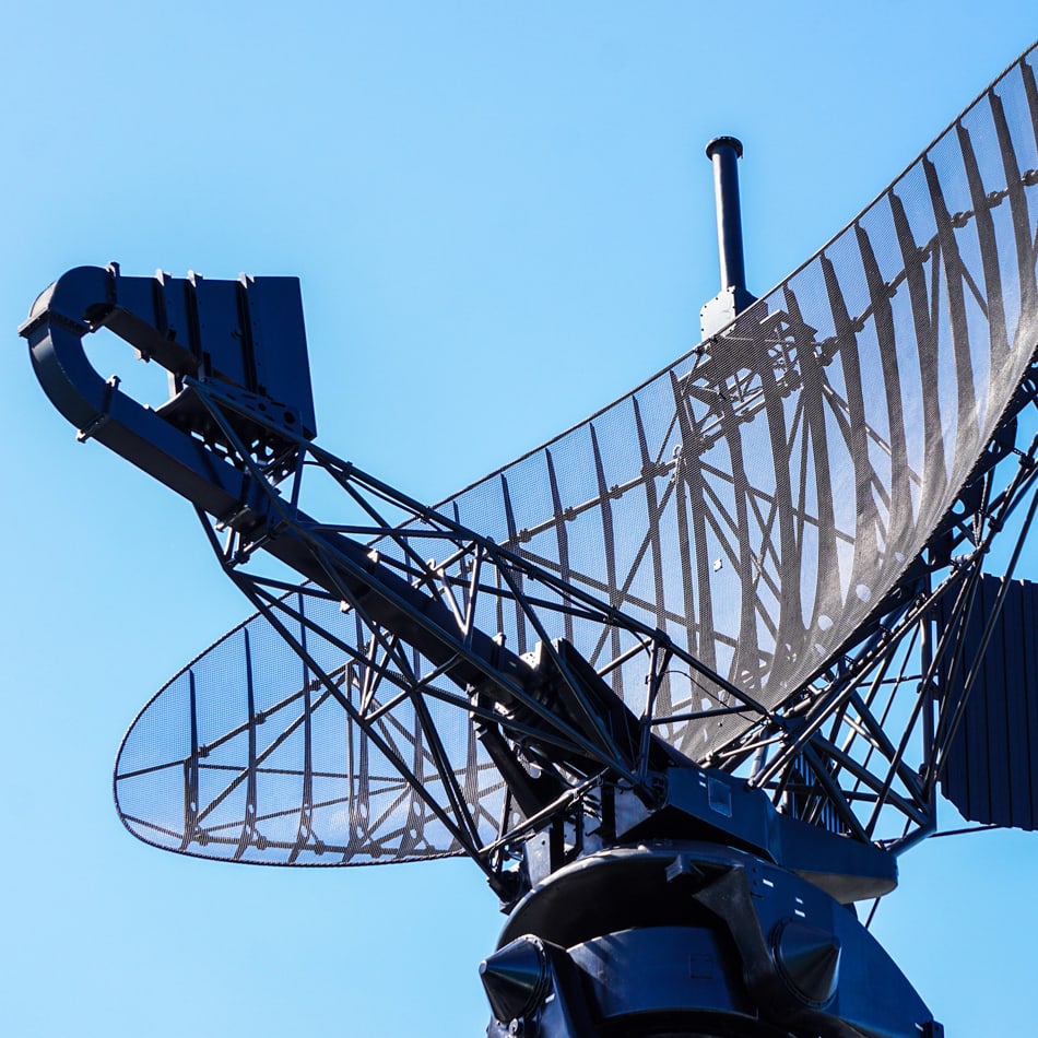
- Tracking methodologies – applying radar and electro‑optical techniques to detect, monitor, and characterize satellites and debris objects
- Debris‑mitigation practices – recognizing debris types, assessing hazards, and understanding processes for collision prediction and avoidance maneuvers
- Earth‑observing systems – examining satellite missions (Sentinel, Landsat, PACE, MethaneSAT) that measure climate, oceans, ecosystems, and environmental change
- Reconnaissance capabilities – exploring historical and modern space‑based intelligence systems for high‑resolution imaging, radar sensing, and infrared surveillance
- Communications architectures – comparing legacy and proliferated LEO constellations (e.g., Telstar, Starlink, OneWeb, MUOS) and their global connectivity applications
- Positioning and geodetic techniques – understanding global Positioning, Navigation, and Timing (PNT) systems (GPS, GLONASS, Galileo, BeiDou) and geodetic satellites (GEOSAT, LAGEOS, GRACE‑FO) for navigation, Earth modeling, and mission planning

How You Will Benefit
- Develop a comprehensive understanding of global civil, commercial, and military space activities to better assess how orbital assets support organizational and national objectives.
- Apply knowledge of orbital regimes (LEO, MEO, GEO, HEO) to evaluate which orbits best support mission goals in communications, sensing, security, and environmental monitoring.
- Strengthen space‑domain awareness by analyzing congestion, tracking methods, and debris risks to improve operational safety and organizational readiness.
- Interpret environmental and climate data from major Earth‑observing missions to support evidence‑based decision‑making in sustainability, disaster response, and resource management.
- Assess global surveillance and reconnaissance capabilities to understand how space systems contribute to national security, intelligence operations, and strategic planning.
- Evaluate modern communication constellations to improve organizational connectivity, resilience, and technological competitiveness.
- Utilize positioning, navigation, timing, and geodetic satellite systems to enhance precision, logistics, mapping accuracy, and mission planning across sectors.
-

Grow Your Professional Network
-

Taught by Experts in the Field
Related Programs

Fault and Disturbance Analysis Conference
This annual conference provides a forum for you to learn about the state of the art in power-systems engineering. You will experience the presentation of…
Fundamentals Concepts for Energy Management
This course is designed to assist Energy Auditors with the energy and energy systems basics, as well as the mathematical operations and calculations,…

Introduction to Engineering Mechanics
Engineers are the ultimate problem solvers. This course introduces the principles required to solve engineering mechanics problems. It addresses the…

Master of Science in Aerospace Engineering, Online
Reach a level of expertise in one or more of the specialties important to advanced aerospace system design, development, manufacture, maintenance, and/or…
Master of Science in Electrical and Computer Engineering, Online
Get the technical know-how to compete in the high tech industry of computer development. Our master’s degree course work is no different from the project…

Master of Science in Industrial Engineering, Online
Dig deeper into the inherent complexity of our problem domains and the sophistication and variety of our problem-solving methodologies. Learn how to…

Master of Science in Mechanical Engineering, Online
Dig deeper into the inherent complexity of our problem domains and the sophistication and variety of Learn methods of advanced analysis appropriate for…
Master of Science in Medical Physics, Online
Medical physics involves the application of physical principles to medicine, particularly in the diagnosis and treatment of human diseases. Learn more »

Master of Science in Operations Research, Online
Learn advanced methods to arrive at optimal or good decisions in complex problems and elicit a best possible solution to a problem mathematically to…
Pre-Course for ENER 3100P
This online pre-course for ENER 3100P: ISO 50001 Energy Lead Auditor Training must be completed prior to the classroom sessions.
Pre-Course for ENER 3101P: Certified Practitioner in Energy Management Systems (online)
This online pre-course for ENER 3101P - Certified Practitioner in Energy Management Systems must be completed prior to the classroom sessions.

Pre-Course for ENER 3107P: Case Study
This online pre-course for ENER 3107P - Superior Energy Performance (SEP) Performance Verifier Training must be completed prior to the classroom sessions.

Professional Master's in Applied Systems Engineering (Online)
Elevate your career with Georgia Tech's Professional Master's in Applied Systems Engineering (Hybrid). You'll learn from top engineers and researchers in…
Protective Relaying Conference
This annual conference provides a forum for you to learn about operational practices and the application of new techniques and devices in protective…
Software-Defined Radio Development with GNU Radio: Theory and Application
Gain hands-on communications systems knowledge! The Software-Defined Radio Development with GNU Radio course will comprehensively cover developing…